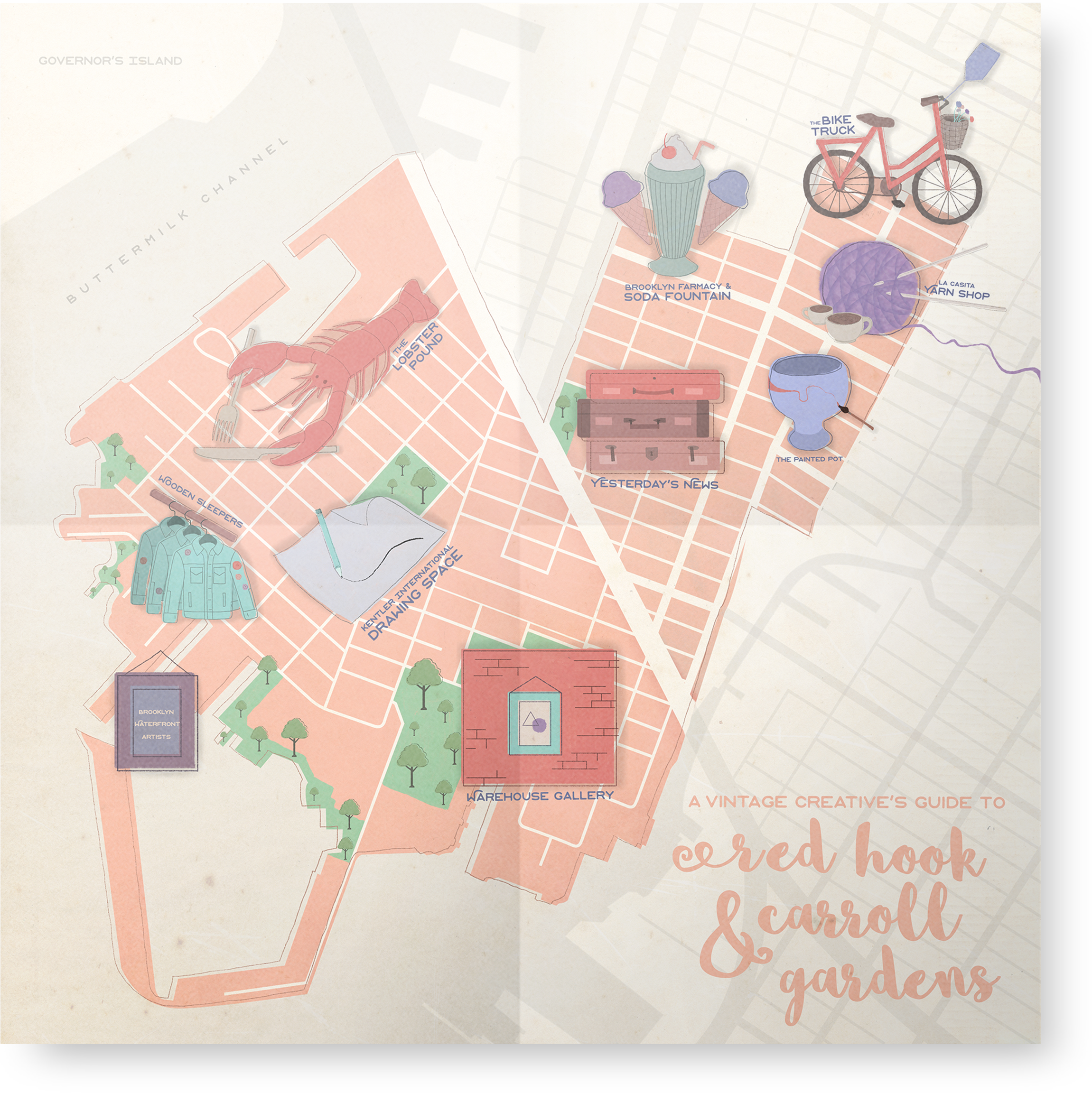
Illustrated Map
When prompted to create an illustrated map for Red Hook and Carroll Gardens, two neighborhoods in Brooklyn, I decided to theme the chosen landmarks. In creating a vintage creative's guide to the two areas, I was able to encompass two aspects that exist predominantly within their boundaries. Illustrated in Photoshop through the use of various brushes, I was able to create icons for each store or restaurant as well as the map in which they sit, tying together a visual identity with some of the area's defining attractions.